Bikepacking the Kokopelli Trail
A bikepacking adventure.

If you are thinking about bikepacking the Kokopelli Trail this guide will give you the information and insight you need for a successful trip to one of the most spectacular bike trails out there.
The Kokopelli Trail is one of the most coveted bikepacking routes out there, and for good reason. Nowhere else can you find scenery quite like this! The 142-mile multi-use trail stretches from Loma, Colorado all the way to Moab, UT.
This incredibly scenic trail takes you along the Colorado Plateau and through colorful stretches of Utah as well as in and out of valleys. The Kokopelli Trail crosses the Colorado River and ends at Moab’s Slickrock area. This ride is definitely not for the novice rider, the climbs and technical sections alone make it more for those with experience.
Location:
The Kokopelli Trail starts near Loma, Colorado which is about 15 miles from Grand Junction. From the Loma exit (exit 15) you travel west on the gravel road to the trailhead on the left. The Kokopelli Trail ends in Moab’s Slickrock. The trail runs through Mesa County, Colorado, and Grand County in Utah.
Mileage for the Kokopelli Trail:
142 miles.
There are a few bailout options along the way.
Days out:
2-6
Although this trail has been completed in less than 11 hours and 14 minutes by pro cyclist Lachlan Morton, for the rest of us, we can expect to be out from 2-6 days depending on how many miles you want to cover each day.
Type of trail:
Dirt roads, paved roads, and singletrack with some technical areas.
There are some pretty steep climbs on this trail with the payoff being some exhilarating descents. With more than 10,000 feet of total climbing, the highest point on the trail tops out at over 8,000 ft above sea level. This epic bikepacking adventure promises an incredible final descent as you wearily make your way into Moab.
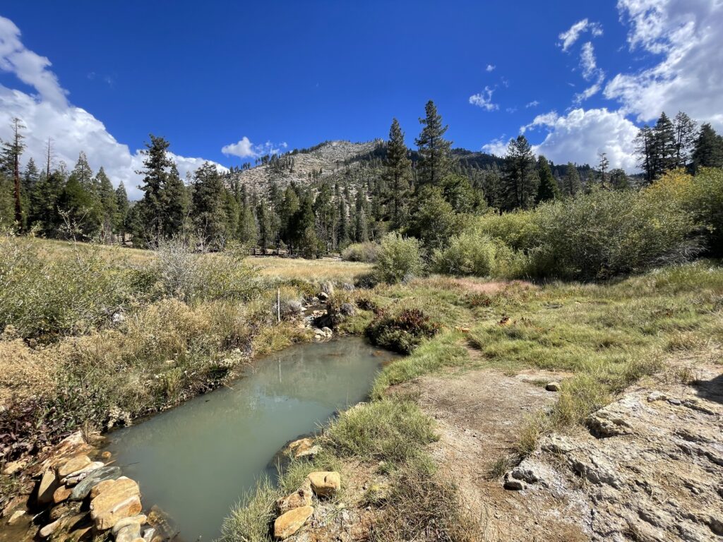
Water options while bikepacking the Kokopelli Trail:
There are not too many reliable water sources on this trail so it’s important to plan accordingly. One consideration is to bring a portable water filter and tank up from the Colorado River whenever possible.
It’s a good idea to do some research (I read current trip reports) or make a few calls to check the flow of streams and rivers to be sure you know how much water to carry at each point you fill up.
Another option is to have friends deliver water to you along the route or stash some yourself beforehand wherever possible.
Camping on the Kokopelli Trail

There are plenty of camping options along the way including the BLM campgrounds listed below; some may require a small fee. Many of the BLM campgrounds lining the trail do not have water, or if they do it’s not potable. These are primitive campsites so don’t expect much as far as amenities go.
Salt Creek Overlook
Castle Rock
Cold Spring
Porcupine Rim
Knowles Canyon
Bitter Creek
Mesa Creek
Cowskin Campground near Cotton Canyon
Hideout Canyon
Rock Castle
Bull Draw
North Beaver Mesa Campground
Dewey Bridge
Rabbit Valley
Trail Overview:
The Kokopelli Trail is divided into nine sections, each with its own unique terrain and scenery. Starting with the Ruby Canyon Section, you’ll continue on through Rabbit Valley, Westwater, Fish Ford, and Yellow Jacket Canyon sections. From there, the trail traverses through the Cottonwood Canyon, Beaver Mesa, and all La Sal Loop sections leading up to your final stretch. The trail ends in the Sand Flats section which takes you from Porcupine Rim to Slickrock.
The Kokopelli Trail starts out on some single track affording beautiful views of the Colorado River. Continuing on through the Mary’s Loop area, you’ll leave the river and parallel Mack Ridge before the river returns along with views of the Black Ridge Canyons.
The trail presses on through Fish Ford and the ride becomes more arduous as you climb away from the Colorado River. This section is beautiful though; there’s nothing like moving in and out of desert and mountain terrain and skirting along the Estrada Bluffs.
After a climb to the infamous Castle Valley Road to the summit, you’ll be graced with an amazing descent with stunning views of Castle Valley as you make your way into Moab.
Be prepared and enjoy the ride.
If you want to execute a successful trip, it will certainly behoove you to do some checking and planning during the weeks leading up to your trip. Knowing what to expect as far as water sources, weather forecast, trail condition, and detours, are going to be key to having the best possible outcome. This is certainly not a trip for bringing your dog or someone just starting out with biking.
This bucket-list bikepacking trip is an adventure of the soul and a test of your commitment. Experience a multitude of terrains and landscapes on a trail that links two of the most coveted mountain biking areas in the country. Go out with a spirit of excitement and return with a sense of accomplishment.